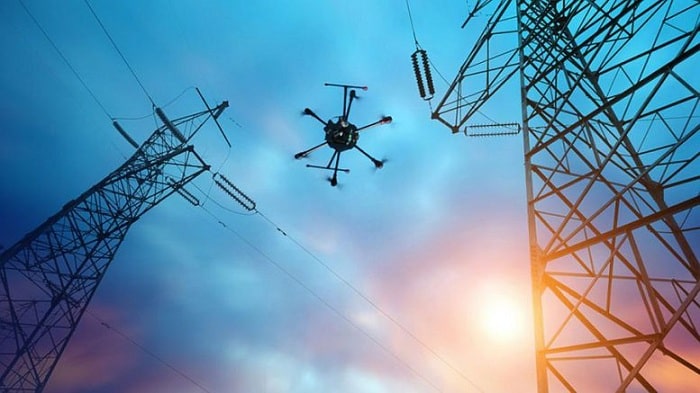
Spanish energy multinational Naturgy is partnering with Vodafone and startup FuVeX for beyond line of sight powerline monitoring with 5G drones.
The initiative to get under way early in 2021 is claimed to have the first indefinite authorisation for drone flights beyond line of sight in Spain from the country’s Aviation Safety and Security Agency (AESA).
Beyond line of sight operation obviously increases the operational and cost effectiveness of drones, particularly for the inspection of energy infrastructure, which is widespread and can be in remote and hard to access terrain.
For safe and controlled beyond line of sight flight, a robust communication system is needed, drawing on 5G and 4G and technologies such as RPS (Radio Positioning System) that allow the drone to be positioned and controlled at all times. RPS technology allows very accurate estimation of the drone’s position through its SIM card, providing an alternative to the traditional GPS coordinate based system.
The authorisation still has operational limitations, however, and the three companies are working within the framework of the European Robotics for Infrastructure Inspection and Maintenance (RIMA) project to promote the region’s long-range drone industry.
This pioneering initiative aims to significantly improve operations for the revision of electrical installations and to advance the simplification and sustainability of this type of actions, according to a statement. To date, access for inspections has been mainly vehicular.
In time Naturgy anticipates undertaking inspections across its thousands of kilometres of powerlines with drones, remotely controlled from its offices.
With the use of long distance drones, Naturgy estimates potential savings of more than 6Mt of CO2 emissions.
The RIMA project is a four-year initiative that was started in January 2019 to establish a network of innovation hubs on robotics sharing best practices and providing services to facilitate the uptake of infrastructure inspection and maintenance technologies.


