






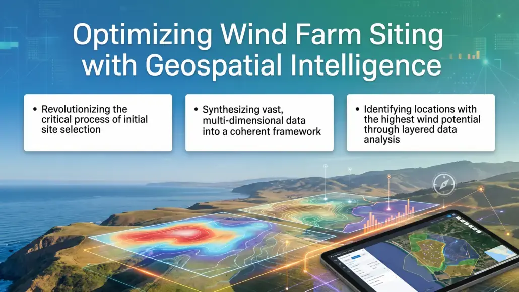

The initial phase of any energy project involves the critical task of site selection, a process that has been revolutionized by the application of advanced mapping technologies. Advanced digital geospatial intelligence allows engineers and planners to synthesize vast amounts of multi dimensional data into a coherent framework for decision making. By overlaying layers of geological, meteorological, and environmental data, developers can identify locations that offer the highest wind potential while minimizing construction risks and environmental impacts. This sophisticated approach to site assessment reduces the uncertainty that often accompanies early stage development, providing a more stable foundation for the entire project lifecycle.
Geospatial data synthesis involves the integration of high resolution topography, soil stability maps, and proximity to existing transmission infrastructure. For offshore projects, bathymetric data and sea state history are also essential components of the analysis. The ability to visualize these factors in a single digital environment enables teams to conduct trade off analyses that were previously impossible. For example, a site with slightly lower wind speeds might be more attractive if it is significantly closer to a grid interconnection point, reducing the need for expensive subsea cabling. These insights are critical for optimizing the financial performance of the asset.
The use of machine learning algorithms to analyze historical geospatial data is another significant advancement in the field. These tools can identify patterns and correlations that human analysts might miss, such as the relationship between local land use changes and long term wind variability. By incorporating these insights into the site selection process, developers can build more resilient projects that are better suited to the changing energy environment. The ongoing maturation of these digital tools reflects a broader trend toward data driven decision making in the power generation sector, where precision and efficiency are the primary drivers of success.
Real Time Resource Assessment using Satellite Imagery and LIDAR
Accurate wind resource assessment is the cornerstone of a successful project, as it directly impacts the projected energy yield and the resulting financial returns. Specialized digital geospatial intelligence has introduced new tools for real time assessment, including satellite based synthetic aperture radar (SAR) and ground based Light Detection and Ranging (LIDAR) systems. These technologies provide a much more detailed and dynamic picture of the wind resource than traditional anemometer masts, allowing for a more granular understanding of wind shear, turbulence intensity, and flow patterns across the entire site.
Satellite data is particularly valuable for the early stages of offshore development, where installing physical measurement equipment can be prohibitively expensive. SAR data can provide a broad overview of the wind field over large areas of the ocean, helping developers identify the most promising zones for further investigation. Once a potential site has been identified, LIDAR systems can be deployed to provide high frequency measurements at the exact hub height of the proposed turbines. This combination of macro and micro level data ensures that the resource assessment is as accurate as possible, reducing the risk of energy yield shortfalls.
The integration of real time data feeds into the resource modeling process allows for continuous optimization even after the project is operational. By comparing actual turbine performance with the predicted wind data, operators can identify discrepancies and adjust their control strategies to maximize output. This closed loop approach to resource management is essential for maintaining the efficiency of large scale wind arrays, where even small improvements in performance can lead to significant increases in revenue. The ability to monitor the wind resource in real time also provides a valuable tool for grid operators, helping them manage the variability of renewable energy and maintain the stability of the power system.
Streamlining Regulatory Compliance with Visual Data Platforms
Navigating the complex regulatory requirements of the energy sector is a major challenge for developers, often involving thousands of pages of documentation and numerous permits from various government agencies. Modern digital geospatial intelligence streamlines this process by providing visual data platforms that allow regulators to see the project in its geographic context. Instead of reviewing abstract maps and tables, officials can interact with a 3D model of the proposed wind farm, seeing exactly how it will impact the local environment, existing infrastructure, and nearby communities.
These visual platforms are particularly effective for conducting environmental impact assessments (EIA). By overlaying the turbine layout with data on protected habitats, archaeological sites, and visual corridors, developers can demonstrate their commitment to mitigating potential negative impacts. This transparency builds trust with regulators and can significantly speed up the permitting process, reducing the time it takes to move from concept to construction. The ability to share these digital models with all stakeholders ensures that everyone is working from the same set of facts, fostering a more collaborative and efficient regulatory environment.
In addition to the initial permitting phase, geospatial platforms also support ongoing compliance monitoring. Sensors embedded within the turbines and throughout the site can provide a continuous stream of environmental data, which can be shared with regulators in real time. This automated reporting reduces the administrative burden on both the developer and the government, ensuring that the project remains in compliance with all environmental and safety standards throughout its operational life. The transition toward these digital compliance tools is a major step forward for the industry, providing a level of accountability and transparency that was previously unattainable.
Digital Twin Integration for Lifecycle Performance Optimization
The concept of the “digital twin,” a virtual representation of a physical asset, is becoming an essential tool for the long term management of power generation systems. Integrating digital geospatial intelligence provides the spatial framework for these digital twins, allowing operators to track the condition and performance of every component in the turbine fleet. By integrating real time sensor data with historical maintenance records and geospatial information, operators can create a comprehensive view of the asset’s health, enabling a more proactive and predictive approach to maintenance.
A digital twin can simulate the performance of a turbine under different operating conditions, allowing operators to identify the most efficient control strategies for the current wind resource. For example, if a specific turbine is experiencing higher than normal vibration levels, the digital twin can help diagnose the cause and suggest corrective actions before a failure occurs. This ability to “see inside” the machinery from a remote control center reduces the need for expensive and risky physical inspections, improving both the safety and the economics of the project.
The lifecycle perspective provided by digital twins also supports the decommissioning and repowering phases of the project. By maintaining a complete record of the asset’s history, developers can make more informed decisions about when to replace components or when to upgrade the entire site with newer technology. This long term view of asset management is critical for maximizing the return on investment and ensuring the sustainability of the wind energy sector. The integration of digital geospatial intelligence into these digital twins ensures that the physical location and environment of the asset are always taken into account, providing a more accurate and reliable model of its performance.
Advancing Stakeholder Visualization in Public Consultation Processes
Public acceptance is a critical factor in the success of any renewable energy project, and the visual impact of wind turbines is often a primary concern for local communities. Utilizing digital geospatial intelligence enhances the public consultation process by providing high quality visualizations that show the project from various vantage points. These tools allow community members to see exactly how the wind farm will look from their homes, local parks, and other important locations, helping to demystify the project and address potential concerns about visual amenity.
Virtual reality (VR) and augmented reality (AR) are increasingly being used to provide an even more immersive experience for stakeholders. During public meetings, community members can wear VR headsets to “walk through” a virtual representation of the proposed site, experiencing the scale and layout of the turbines in a way that is not possible with 2D drawings. This interactive approach fosters a more informed and constructive dialogue, allowing developers to receive meaningful feedback and make adjustments to the project layout before it is finalized.
The transparency provided by these visualization tools is essential for building social license. By being open and honest about the visual impact of the project, developers can build trust with the community and demonstrate their commitment to being a good neighbor. This proactive approach to stakeholder engagement reduces the likelihood of opposition and can lead to a more supportive environment for the energy transition. As the industry continues to grow, the ability to communicate the benefits and impacts of wind energy in a clear and compelling way will remain a vital skill for all developers. Through the application of advanced digital tools, the sector can ensure that its projects are not only technically and financially sound but also socially acceptable and sustainable for the long term.